
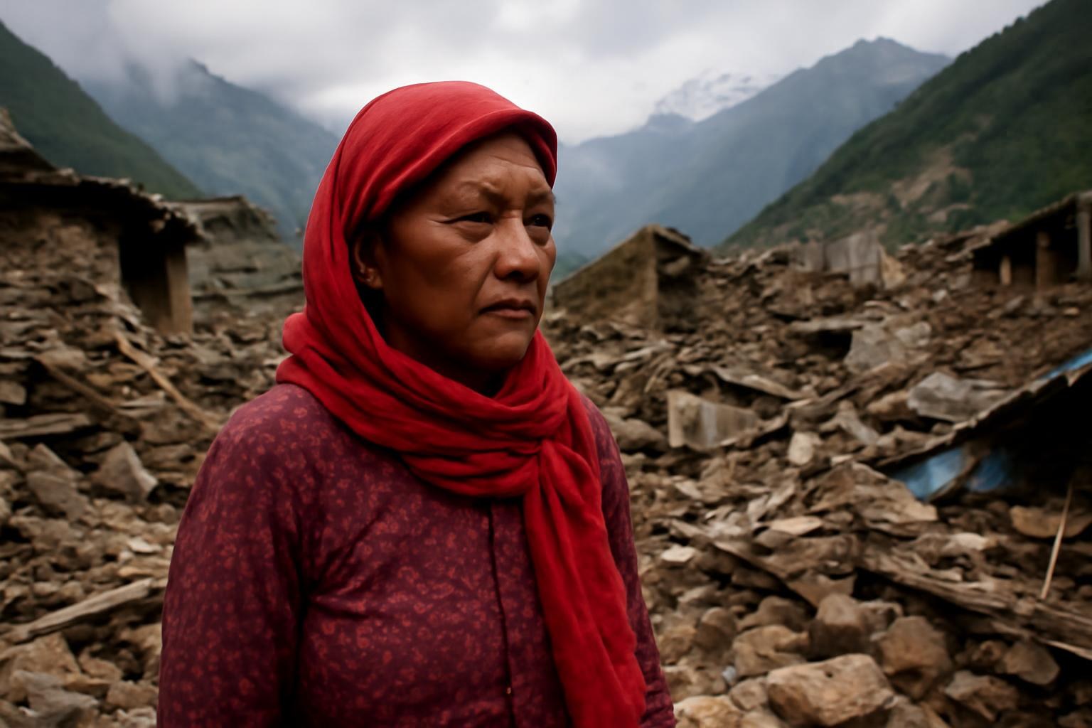
A recent disaster in Nepal has renewed concern about the accelerating climate risks confronting communities in the Himalayas. The region is warming rapidly, while changes in precipitation are making rainfall patterns less predictable. When intense rain falls on unstable slopes or combines with melting snow and ice, a localized event can become a cascading emergency.
One major hazard is the growth of glacial lakes behind natural dams made of rock and ice. As glaciers retreat, meltwater can accumulate in these depressions, increasing pressure on fragile barriers. If a dam collapses, a glacial lake outburst flood can send a sudden surge through valleys, destroying bridges, roads, farmland, and settlements with little time for evacuation.
Rainfall-driven disasters are becoming equally consequential. Steep terrain channels water quickly, and deforestation, road construction, and poorly planned development can weaken slopes further. Landslides may bury homes and isolate villages, while sediment can clog rivers and damage hydropower facilities downstream.
The danger is not limited to the physical landscape. Mountain economies often depend on agriculture, tourism, hydropower, and cross-border trade, all of which require reliable roads and communication networks. When a bridge is swept away or a trail becomes impassable, residents may lose access to markets, schools, medical care, and emergency assistance for weeks.
Scientists have improved satellite observation and remote sensing, but monitoring remains difficult in high-altitude environments. Weather stations are sparse, electricity and telecommunications can be unreliable, and cloud cover may obstruct observations at critical moments. Data therefore need to be combined with local knowledge, field inspections, and models capable of representing rapidly changing mountain conditions.
Adaptation must address both immediate safety and long-term planning. Authorities can map high-risk zones, restrict construction in exposed corridors, reinforce bridges, and establish evacuation routes that communities practice regularly. They also need to maintain roads and warning equipment before the monsoon, rather than treating preparedness as a response that begins only after a disaster.
Nepal’s experience carries implications for the entire Himalayan region. Climate change does not create every landslide or flood, but it can alter the probability, intensity, and consequences of hazards that already exist. Effective adaptation will require sustained financing, transparent risk information, and cooperation among governments, researchers, and local communities, because rivers, glaciers, and atmospheric systems do not stop at national borders.